Workers in the agricultural sector could already appreciate the benefits of using various applications for smartphones. And at the moment it is precise agriculture is the sphere where application of such applications is very in demand. Today, their functionality allows not only to collect data and record the result of scanning growing cultures, but also to control the UAV, obtain data from them, monitor the state of the field equipment.
The number of different (including agricultural) applications available for installation on a smartphone is growing exponentially. In this article, we will try to consider the functional of those of them that have already proved themselves well (software that has been developed or modernized in 2017). We have to admit at once that in many cases we are not talking about cross-platform communication – some of the applications are available for the Apple platform, another – for Android and only a few work through the Web-interface.
The AGBRIDGE application, developed by Scruggs Equipment Co used to transfer data between various agricultural equipment and office computers. For data transfer, a standard USB port or Compact Flash Port is used. Available for devices on Android, iPhone, iPad.
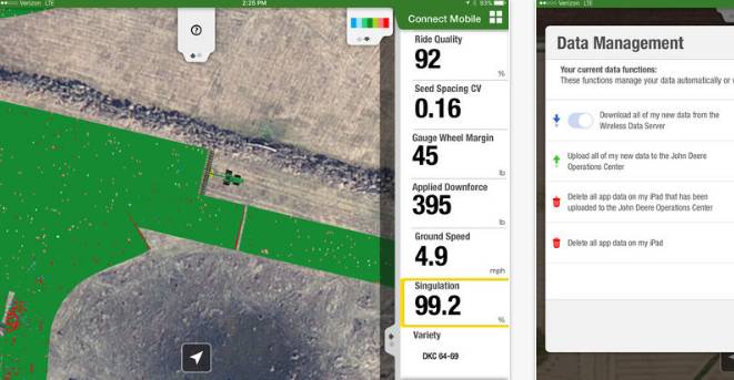 «Connect Mobile» (update) (this is update of the pre-existing application). The John Deere Connect Mobile application is suitable for monitoring the operation of machinery and optimizing the operation process. It helps to understand in general how exactly different parts of the machine are loaded during field work. Data transfer is possible through WiFi networks and mobile operators. Having received data from the technics, the smartphone then forwards the information to the John Deere Operations Center. Application can be used with displays GreenStar 3 2630 and Generation 4 4600 CommandCenter. Today, the application is available for iPad owners.
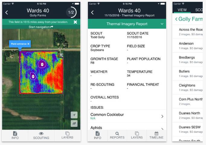 «AkerScout» – This application is designed to monitor the condition of crops and identify areas that need immediate processing. The main work is possible in offline mode with existing cards, additional functionality is included when available high-resolution cards. The data obtained from aerial photography is used for work. It supports work with corn, soybeans, sugar beet and a number of other crops. Cartograms are combined with GPS data. This application allows you to assess the adequacy of watering, the presence of pests, the number of plants, the amount of damage, allows you to leave notes on the photo, create reports based on them. Available for Android, iPad, iPhone.
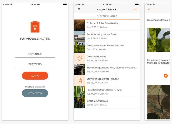 «Farmobile Notes» – This application is intended for obtaining data from the equipment on which EFR equipment (Electronic Field Records – electronic data recording from the field) is installed. This type of equipment is designed to collect data from agricultural machinery during work. In the normal mode, when moving across the field, all data coming from the sensors are transferred to the central database, only after that they are available for analysis. Which is not always convenient if you are in the cabin of technics in the midst of work. As already understood, to access this information right at the time of work, and created the application Farmobile Notes. Available for Android, iPad, iPhone.
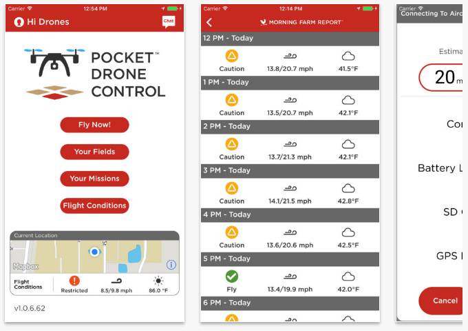 «Pocket Drone Control» от Agrible is designed to simplify the operation of the Crop Copter. Allows you to quickly determine the damage from the occurrence of meteorological events or the appearance of pests. To do this, connect the capabilities of the software, from the company Agrible, Morning Farm Report. This will allow you to even specify the requirements of the plants in fertilizes.
Additionally, Pocket Drone Control greatly simplifies the management of drones. You can set the territory for the survey and run the drone into flight by a few touches of the screen. After loading the photos of the field, you can immediately get a report on the type of problems in this field – hail, disease, flooding or drought. After uploading the data to the cloud, you can share it at any time. Available for iPad, iPhone.
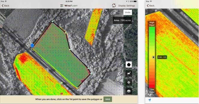 This application from UAV-IQ is designed to process data coming from UAVs, resulting in reduced losses, optimization of field processing costs, increased yield. When loading field survey results, places that need immediate processing, cultivation, selective harvesting are automatically marked. It is possible to compare the results of monitoring of the same place at different times. This allows you to effectively evaluate the results of previous treatments of this territory. The data from the field is not simply transformed into images, they are superimposed on real coordinates and are compared with GPS data. The existing data is available for later retrieval and stored as a data collection. Available for iPad.
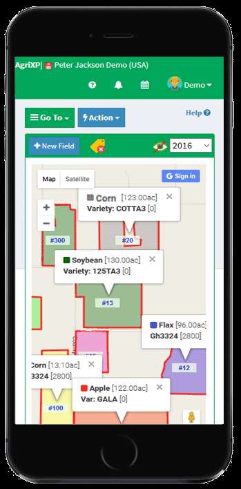 «AgriXP» (renewal) – This platform is designed to store data about the state of the field. The application allows the farmer, employee or consultant to receive information about all the actions performed on this field. Data can be exported to formats such as Excell, PDF, CVS. Time intervals of the changes made can be set in increments of a day, a week or a month. Data stored in the system is securely protected and is available only to authorized users. Web-based interface.
7 application – «FieldAlytics Explorer»
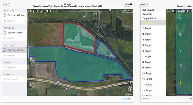 «FieldAlytics Explorer» simplifies the storage and processing of field processing data and the results of agrochemical soil analysis. Simpler management of issued tasks, faster synchronization of data with the main database. The information becomes available immediately after the work is done without the need to transfer it through the central office. For the creation of cartograms, GPS services are used. Available for iPad.
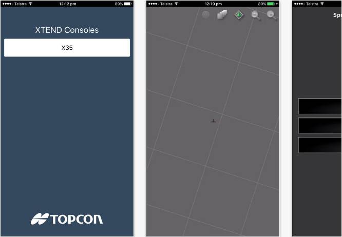 «XTEND» от Topcon Precision Agriculture this is a pretty unexpected solution carrying a dashboard with a built-in Topcon in-cab display on your gadget. This simplifies monitoring in a number of cases and makes the work more convenient. On the screen Aypad you can see the current speed of the vehicle, the readings from the fuel sensors, other data. The data is continuously synchronized via the Wi-Fi channel with the on-board computer. Available for iPad, iPhone.
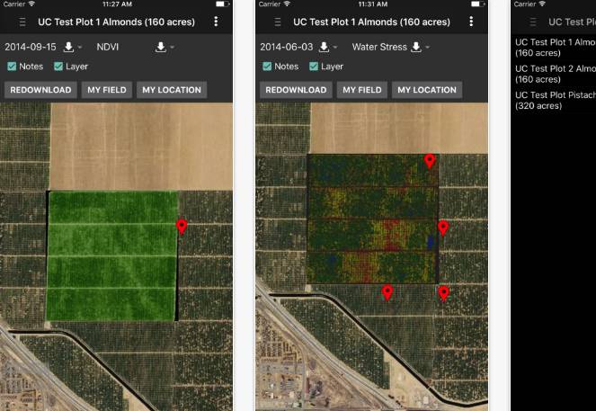 «Ceres Imaging» is used to assess the degree of water stress of the plants, the need in nutrients, the uniformity of seedlings and other aspects related to crop growth. This application estimates the aerial photos of the territory and is suitable both for the evaluation of small areas and large ones. Images can be scaled for a more detailed study of individual sites. Available for iPad, iPhone.
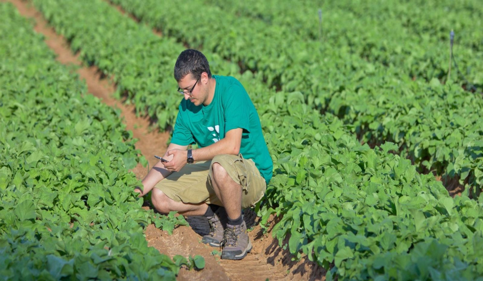 «Taranis» application is designed to control the level of infestation of the field by parasites. Based on the results of the pictures, the field finds «hot» places where human employees must be sent, whose task is to determine the cause of the change in the color of the plant mass on the spot. Data is saved and available for later analysis by an agronomist or other farm employee. Integration of data from rain sensors and traps is possible. Using of this application simplifies the work of the employees of the farm, reduces costs and increases yields. Web-based interface.